Whidbey In Alaska
“Glaciers, back in their cold solitudes, work apart from men, exerting their tremendous energies…then they shrink and vanish like summer clouds.” — John Muir
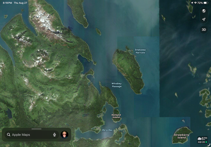
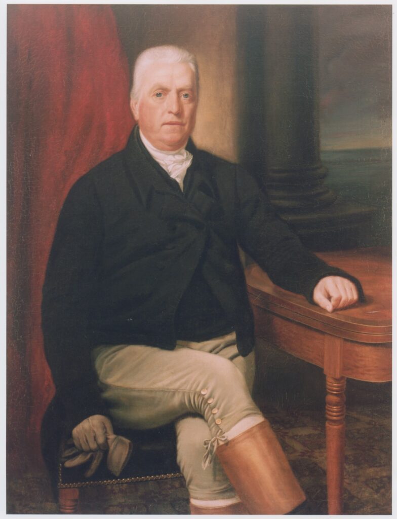
Sail north of the Sitkaday Narrows, below the Brady Icefield in Glacier Bay National Park, and you’ll travel past a body of water known as Whidbey Passage. If that name sounds familiar, it certainly should. Like the island on the other side of Deception Pass from Skagit County, it was named for Master Joseph Whidbey, the first European voyager to determine that Whidbey Island is, in fact, just that — an island.
At 3.2 million acres (roughly the size of Connecticut), Glacier Bay National Park & Preserve is the largest marine area managed by the National Park Service, and is home to seven active tidewater glaciers. It is visited by more than 400,000 cruise ship passengers annually, and last year my wife and I and our two grandsons counted ourselves among that awestruck number.
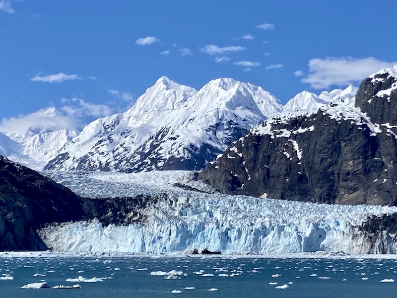
The weather we experienced on the occasion of our visit to Glacier Bay on Mothers Day 2025 was breathtakingly beautiful. That was not the case on a cold, dreary day in October 1879, when a canoe paddled by four Tlingit Indians entered the bay that had been home to the Huna Tlingit for countless generations. There were two other men in the canoe as well. One was a Presbyterian missionary, and the other was a bearded, blue-eyed Scottish-born Californian who had come from “the Yosemite” to view the glaciers first hand. His name was John Muir.
Contrary to conventional geological theory at the time, Muir claimed that Yosemite Valley was the result of glacial activity, and not (as California’s leading geologist maintained) shaped over millennia by cataclysmic forces like earthquakes and tectonic plate movements. For Muir, Glacier Bay was a living laboratory that he hoped would bear out his unconventional theory about glacial activity — which as we know today was spot on.
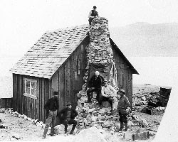
Alaska was not unknown at the time of Muir’s journey. Twelve years earlier, the U.S. Secretary of State, William Seward, effected its purchase from Czarist Russia for $7.2 million — an act that earned him some derision from the media at the time with phrases like “Seward’s Icebox” and “Seward’s Folly.” Ironically, Thomas Jefferson had received similar criticism over America’s purchase of the Louisiana Territory from Napoleonic France.
Though three-quarters of a century apart, both these transactions significantly increased the size of the United States; but following on the heels of the Civil War and its attendant national trauma, many Americans wondered just how the addition of Alaska could possibly benefit our country, especially after 126 years of plunder by the Tsar’s men and their Aleut servants of the sea otter population — the one resource of value associated with this vast and remote land.
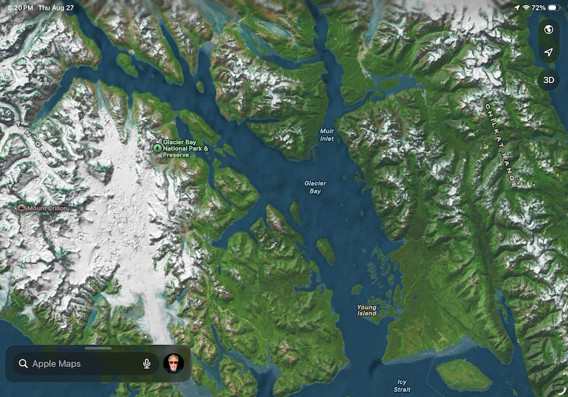
John Muir had no such misgivings concerning Alaska when he set eyes on Glacier Bay. With the help of the Tlingit paddlers in his company, he navigated with a map that had been drawn 85 years earlier by Lieutenant Joseph Whidbey, who had charted the coastline of Glacier Bay under the command of Captain George Vancouver aboard the HMS Discovery in 1794. Two years earlier he had mapped the island that now bears his name.
I had naturally assumed that Whidbey Passage was named by Whidbey’s commander who, as we know, was fond of dispensing place names in honor of friends, benefactors, and crew members — one of whom was named Peter Puget. But what I’ve subsequently learned is that the nine-mile channel along Glacier Bay’s western shore was named in 1942 by the U.S. Coast and Geodetic Survey to commemorate Joseph Whidbey and his 1794 reconnaissance.
As astounded as John Muir was that the glacier he looked upon could hold so much of the bay in its grip, what he couldn’t know at that moment was that he was looking at a glacier in retreat. When Joseph Whidbey was making his map less than a century earlier, the bay didn’t exist. It was completely filled by a glacier that Whidbey, who had never seen such a phenomenon, described rather prosaically as a “snow cliff” — a single tidewater glacier 4,000 feet thick and 20 miles wide.
The mission of the Discovery, which led to the mapping of our own Whidbey Island and the coastline of today’s Salish Sea, was to find the fabled Northwest Passage, a commercially viable sea route over the top of North America. In their encounter of a massive wall of snow and ice, the crew of the Discovery believed it was part of the so-called “Polar Front,” a continuous expanse of ice reaching all the way down from the North Pole. John Muir, however, had a different take.
Muir knew what he was looking at: an alpine glacier fed by tributary glaciers to its north, and so massive that it descended from a mammoth mountain all the way to the sea. Once there, great columns of ice broke away from the tidewater terminus of this wall of ice to crash into the sea, filling the inlets with ice bergs. Muir also knew that like so many things in nature, glaciers were subject to cycles, with their advance and retreat burying and unveiling entire landscapes in a very short period of time, geologically speaking. We are now witnessing these changes in a single human life span, which has been the most compelling reason that my wife and I have wanted to see the world’s glaciers while we can. I should also mention that we’re old, which always adds additional incentive when reviewing your bucket list.
If John Muir might have entertained any doubts about his theory, considering that it had earned him crackpot status among the elite of the scientific community of his day, they would have been laid to rest by his Tlingit paddlers. They remembered the names of coves, streams, and meadows long ago buried by advancing ice, which had also displaced their own ancestors going back to the 1600s, during the peak of what is known today as the Little Ice Age.
What Whidbey recorded on his map was nothing less than the beginning of one of the most rapid glacial retreats in recorded history — and 85 years later John Muir found a bay half-unveiled, and with it living proof of his belittled theory on glacial geology. He named it the Bay of Great Glaciers.
We know it today as Glacier Bay National Park & Preserve. My wife and I will be visiting it again in just a few weeks, and I expect to be every bit as awed by this experience as I was during our first view of it with our grandsons. As we sail into the bay onboard the Holland America ship Nieuw Amsterdam, I’ll reminded once again of John Muir’s thoughts on beholding Alaskan glaciers at the end of the 19th century: “The Master Builder chose for a tool, not the thunder and lightning to rend and split asunder, not the stormy torrents, nor the eroding rain, but the tender snowflake, noiselessly falling through unnumbered generations.”
I’ll be thinking as well about the connection of Glacier Bay to our Skagit Valley history as we sail past the passage named for the English ship’s master whose name was given as well to a nearby island we know and love.